Space Nature Risk Analysis
Technology with
its feet on
the ground.
Proposed programme / not a live monitoring serviceThe aim is a connected evidence-to-action system for landscapes: screen the risks, investigate what lives there, fund the priorities and return to learn what changed.
YOUR.earth organises investment in the landscape where a business operates. Its Living Earth Network model connects scientific interpretation, restoration funding and local implementation. Those responsibilities stay visible and distinct.
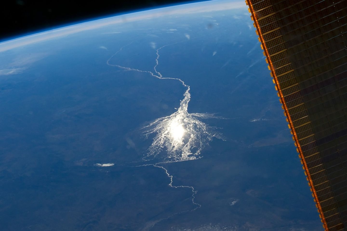
Our starting point is to work with existing Earth-observation data and qualified scientific providers. The orbiting satellite illustrates that connection; it is not a claim of a Mauroo-owned spacecraft or an active satellite service.
01Screen from space.
Use suitable satellite imagery and environmental layers to examine land cover, habitat connections, vegetation change and water patterns. Combine them with the locations and dependencies of projects to prioritise questions for the field.
02Read the biological evidence.
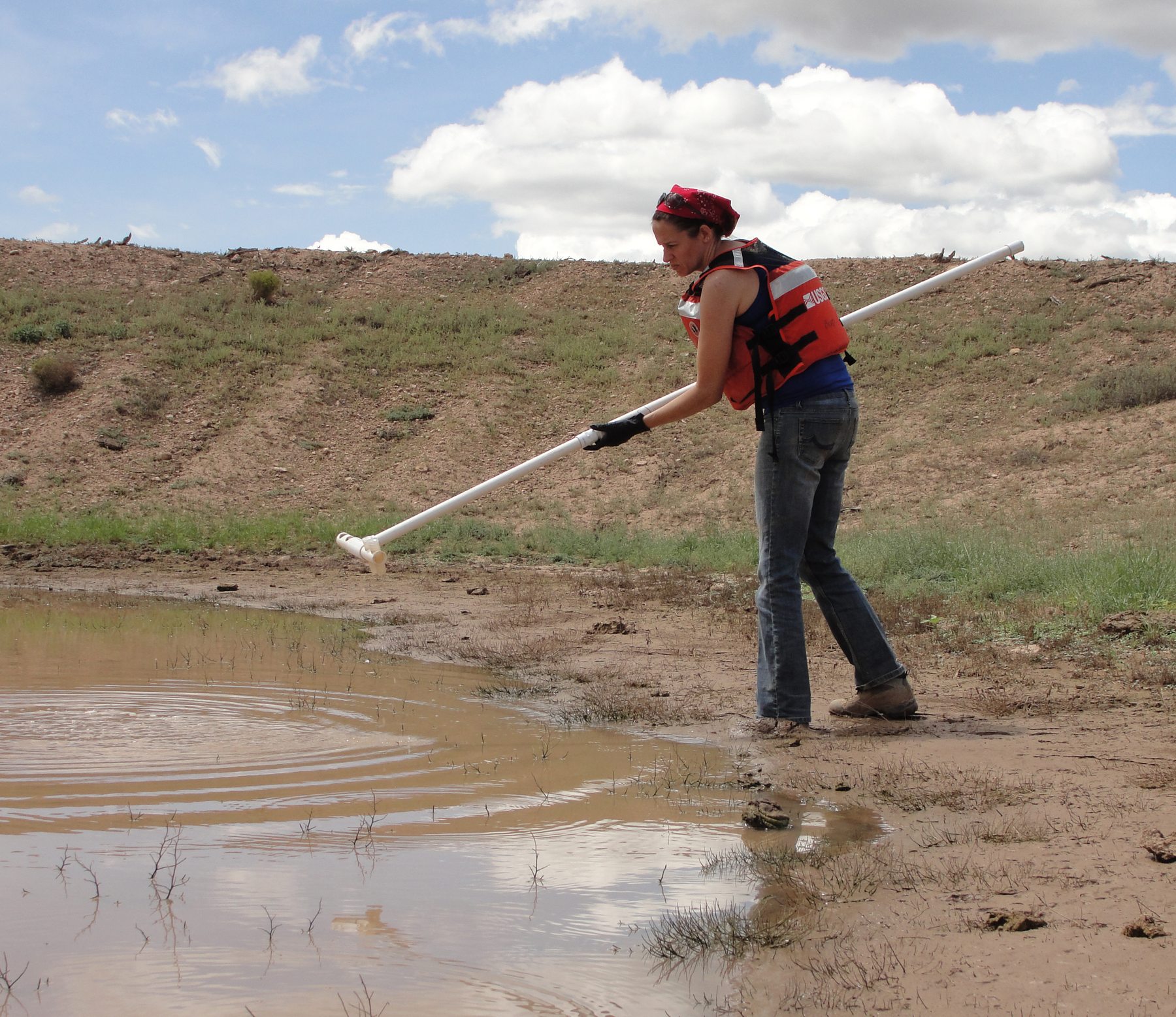
Environmental DNA is genetic material left in water, soil and other environmental samples. Appropriate sampling and laboratory analysis can help detect organisms. Pair it with habitat surveys, local knowledge and, where useful, bioacoustics.
03Fund a practical response.
Turn evidence into a locally agreed plan. Identify interventions, permissions, delivery teams, maintenance and budget. YOUR.earth’s role is to organise restoration funding and clear allocation arrangements.
04Deliver in the landscape.
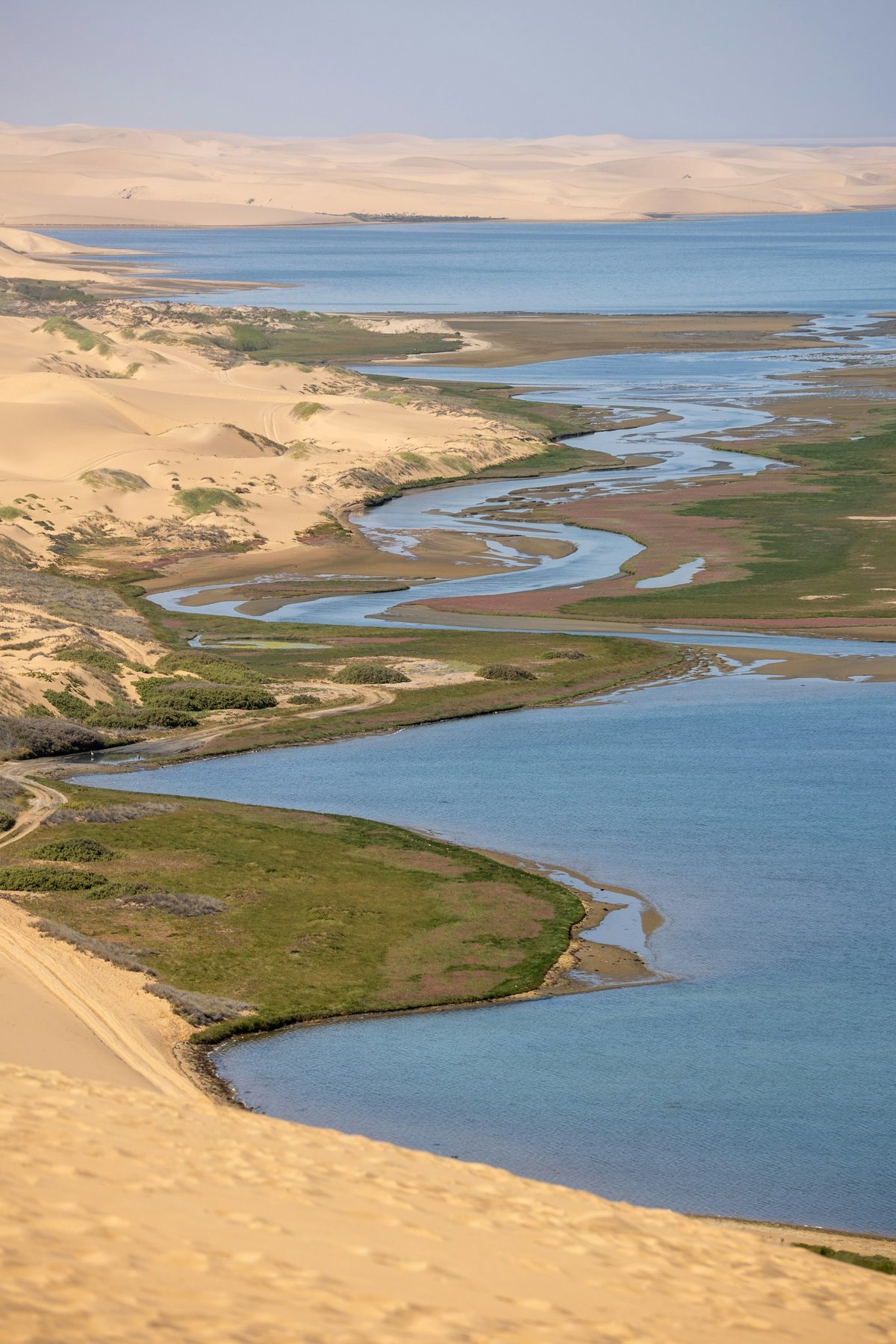
Local organisations, conservation specialists and implementation partners carry out the work. Depending on the place, that could mean water retention, agroforestry, habitat corridors or restoration around energy infrastructure.
05Return. Measure. Adapt.
Repeat observations at suitable times with comparable methods. Keep spending, completed work and ecological results separate. Use the findings to adjust the plan and report uncertainty.